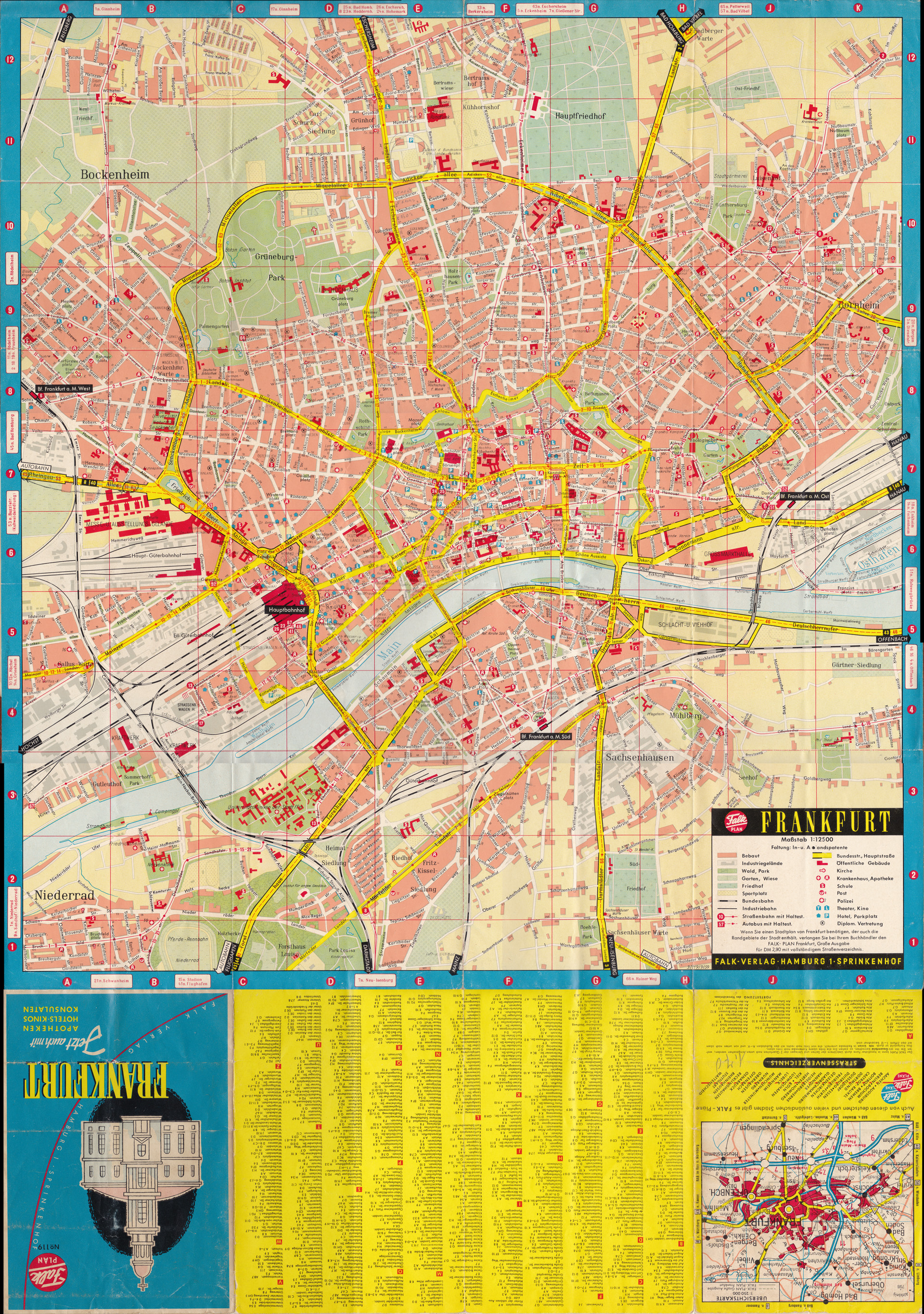
Frankfurt am Main folding map, Falk Verlag Hamburg, 1961, with some pencil
notations by me (from 1961). Also shows trolley and bus lines. If you
click the enlarge button then you get a 1920-pixel wide version, in which
most of the writing is legible. To see much larger version
— 7601 pixels wide, 46MB — CLICK HERE.