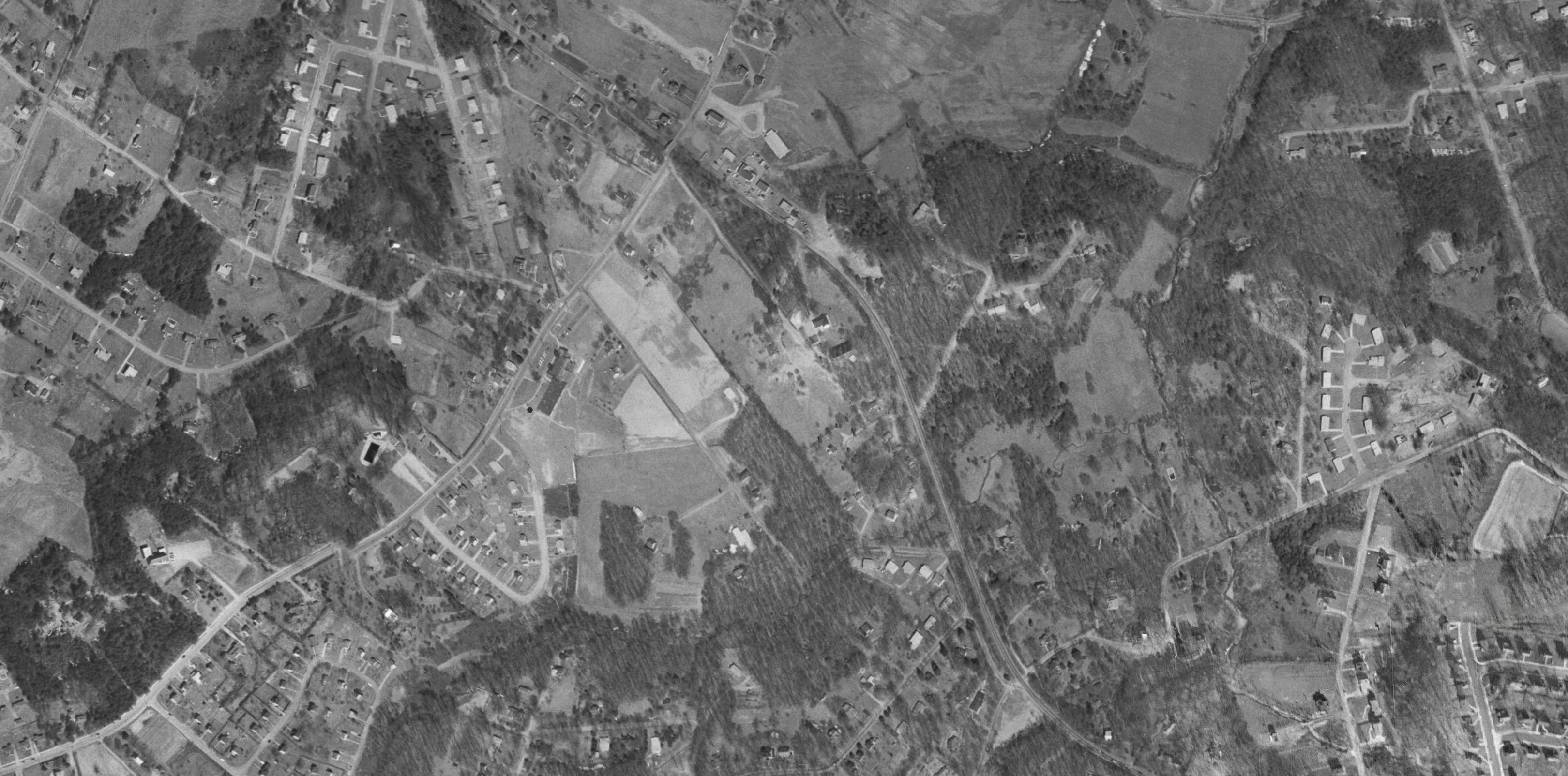

Click each image to enlarge. Kirby Road goes from the lower left up to the top center, and goes over Old Dominion Drive a bit below the top. To to right of the intersection, the first two buildings on Old Dominion are Bray's Esso station and the Chesterbrook Market; beyond them are houses. To the upper right of the intersection is the Methodist church (in those days the "white people" church).
Southwest along Kirby Road, the pair of large black buildings to its right is the newly expanded Chesterbrook Elementary School. The white building just across the street from the school is the Baptist ("black people") church. Behind the church is Chesterbrook's original post-Civil-War Black neighborhood, originally for freed slaves.
Further along to the southwest, the small postwar GI-bill subdivision where my family lived, 1947-1956, with Smurf-hat shaped road around it and an additional row of houses on the southwest side of the road that is now called Franklin Avenue. We lived in the second house from the intersection with Kirby Road. Almost all of these houses have been replaced by newer (and much more expensive) ones.
The second photo shows the newly constructed swimming pool and tennis courts right across Kirby road from the GI Bill houses.
Just to the southwest of Franklin Avenue is the Hill farm, about 40 acres, with a curved driveway going to white victorian house. Behind the Hill farm and the subdivision, the remains of a thick forest with a creek flowing it it. And another small forest on the north side of Kirby Road. Years after we moved away in 1957, the farm and the forest were replaced by suburban houses.