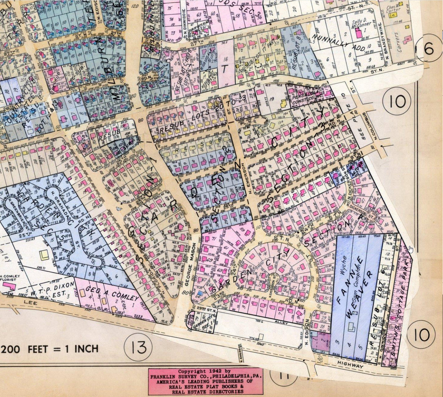
Plat Book Plate 11; click the Enlarge button to see details. This shows the
part of Hall's Hill north of Lee Highway between George Mason Drive and
N.Columbus Street, labeled as Garden City Section, extending north to
somewhere between 24th and 26th Street. There seems to be a thicker
black line where the Wall would be: parallel to N.Columbus, then across 25th
to George Mason, then down George Mason to Lee Highway. Also note the
little black lines where 25th Street, 25th Road, and 25th Place meet George
Mason. I wonder what the big blue area is at the lower right along
Dinwiddie Street.